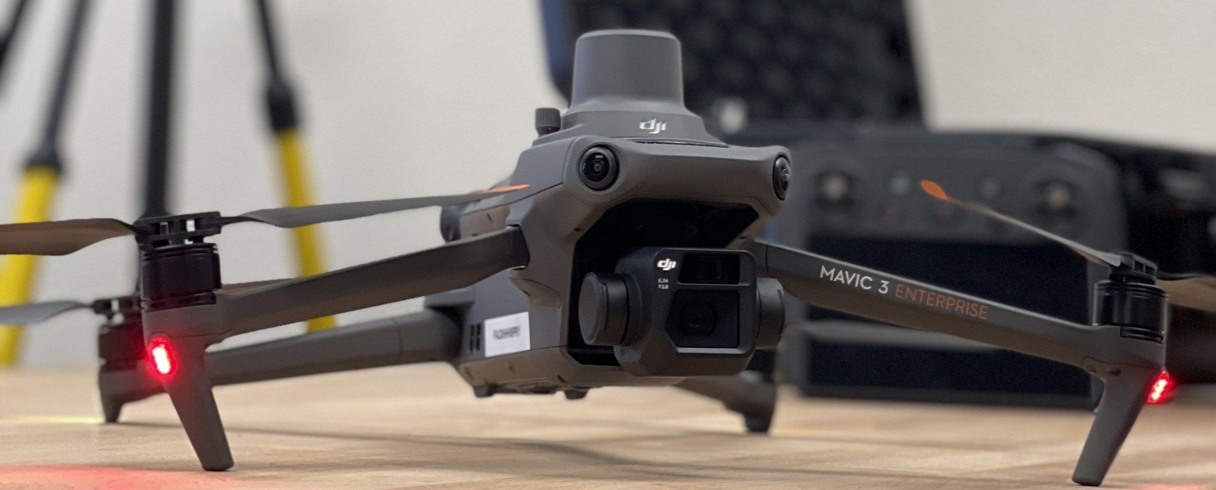
DRONE SERVICES SIMPLIFIED
SERVICES
INSPECTIONS
There are hundreds of advantages of using drones for inspections: Drones enhance safety by inspecting hazardous areas, save costs by reducing equipment and personnel needs, save time with rapid coverage and data capture, improve access to hard-to-reach places, provide high-quality data, offer real-time monitoring, enable repeatable inspections, are environmentally friendly, aid in documentation, and offer scalability for diverse industries like infrastructure, construction, agriculture, energy, and public safety."
PHOTOGRAMMETRY
Unlocking Photogrammetry Benefits with Drones: Drones offer a unique aerial perspective for comprehensive data collection, providing high-resolution imagery for precise measurements. They excel in accessing challenging locations and prove cost-effective with reduced resource needs. Rapid data collection and enhanced safety, along with accurate 3D modeling capabilities, make drones a versatile tool for repeatable and scalable surveys. This innovative approach transforms data collection in industries such as agriculture, construction, and urban planning, improving accuracy, efficiency, and cost-effectiveness.
MULTISPECTRAL
Diverse Applications of Multispectral Drone Photography: Multispectral imaging from drones benefits agriculture, environmental monitoring, forestry, land and water resource management, urban planning, archaeology, and disaster assessment. In agriculture, it aids in crop health analysis and resource optimization. Environmental monitoring benefits from habitat analysis and biodiversity studies. Forestry benefits from forest health assessment and sustainable logging. Land and water resource management use it for soil and water quality assessment. Urban planning benefits from detailed aerial imagery. Archaeology uncovers hidden structures, and disaster assessment aids rapid response efforts. The applications of this technology are continually evolving.
SPRAYING AND SPREADING WITH THE AGRAS T-40
When paired with the Mavic 3 Multispectral the duo become a crop health super power, with the M3M mapping the area quickly we can then go out and target problem areas quickly and accuraetly with the T-40.
Alternatively, there may be a reason you dont want to disturb the crop, did it just rain and you dont want to get bogged in the middle of your valuable crop? is the terrain steep and unsafe? with its terrain following radar and binocualr vision the T-40 can fly close to the ground and accurately follow the terrain and avoid obstacles getting the chemical/fertiliser where its needed with a minimal amount of fuss
LIDAR AND SCANNING
COMING SOON
We are currently researching the purchase of a new Lidar unit, things to consider
Lidar (Light Detection and Ranging) and photogrammetry are two different techniques used for capturing and analyzing spatial data. While both have their strengths and applications, Lidar offers several advantages over photogrammetry in certain scenarios:
Direct 3D measurement: Lidar directly measures distances using laser pulses, providing accurate 3D point cloud data. In contrast, photogrammetry relies on image-based triangulation to reconstruct 3D structures, which can introduce errors and inaccuracies.
Independence from lighting conditions: Lidar systems emit their own light source (laser), making them less reliant on external lighting conditions. This allows Lidar to work effectively in various environments, including low-light conditions, darkness, or even underwater, where photogrammetry might struggle to capture usable data.
Penetration of vegetation and obstacles: Lidar can penetrate vegetation and other obstructions, allowing it to capture the underlying terrain or objects. In contrast, photogrammetry heavily relies on visual information, and dense vegetation or occlusions can impede the accuracy of the reconstruction.
Higher accuracy and precision: Lidar measurements typically have higher accuracy and precision compared to photogrammetry. Lidar systems can achieve sub-centimeter accuracy, making them suitable for applications that require precise measurements, such as engineering, construction, and surveying.
Faster data acquisition: Lidar systems can rapidly capture large areas of data with high point density. The laser beams emitted by Lidar can cover large swaths of the environment and acquire data at high speeds. Photogrammetry, on the other hand, requires capturing multiple images from different angles and processing them, which can be time-consuming for large-scale projects.
Minimal dependence on texture: Lidar data is less reliant on the texture and appearance of surfaces, making it suitable for capturing data from objects or terrains with homogeneous or featureless surfaces. Photogrammetry heavily relies on visual features and texture in images to accurately reconstruct 3D structures.
It's important to note that both Lidar and photogrammetry have their specific use cases, and the choice between them depends on factors such as project requirements, budget, environmental conditions, and desired output. In some cases, a combination of both techniques, known as fusion, can offer the benefits of both approaches for enhanced data acquisition and analysis.


