UAV3D
DRONE SURVEY SOLUTIONS

UAV3D is a fully registered, licensed and isured drone service provider servicing Melbourne and greater Victoria
Welcome to UAV3D, your go-to place for cutting-edge drone technology and aerial survey solutions. We use advanced tech like LiDAR, photogrammetry, and multispectral imaging to gather and analyze geospatial data.
In today's world, precise data collection is crucial. We're experts in using these technologies to provide top-notch aerial survey services, helping you make well-informed decisions.
With LiDAR, we create highly detailed 3D maps using laser pulses for accurate results in terrain modeling, volumetric analysis, and asset inspection.
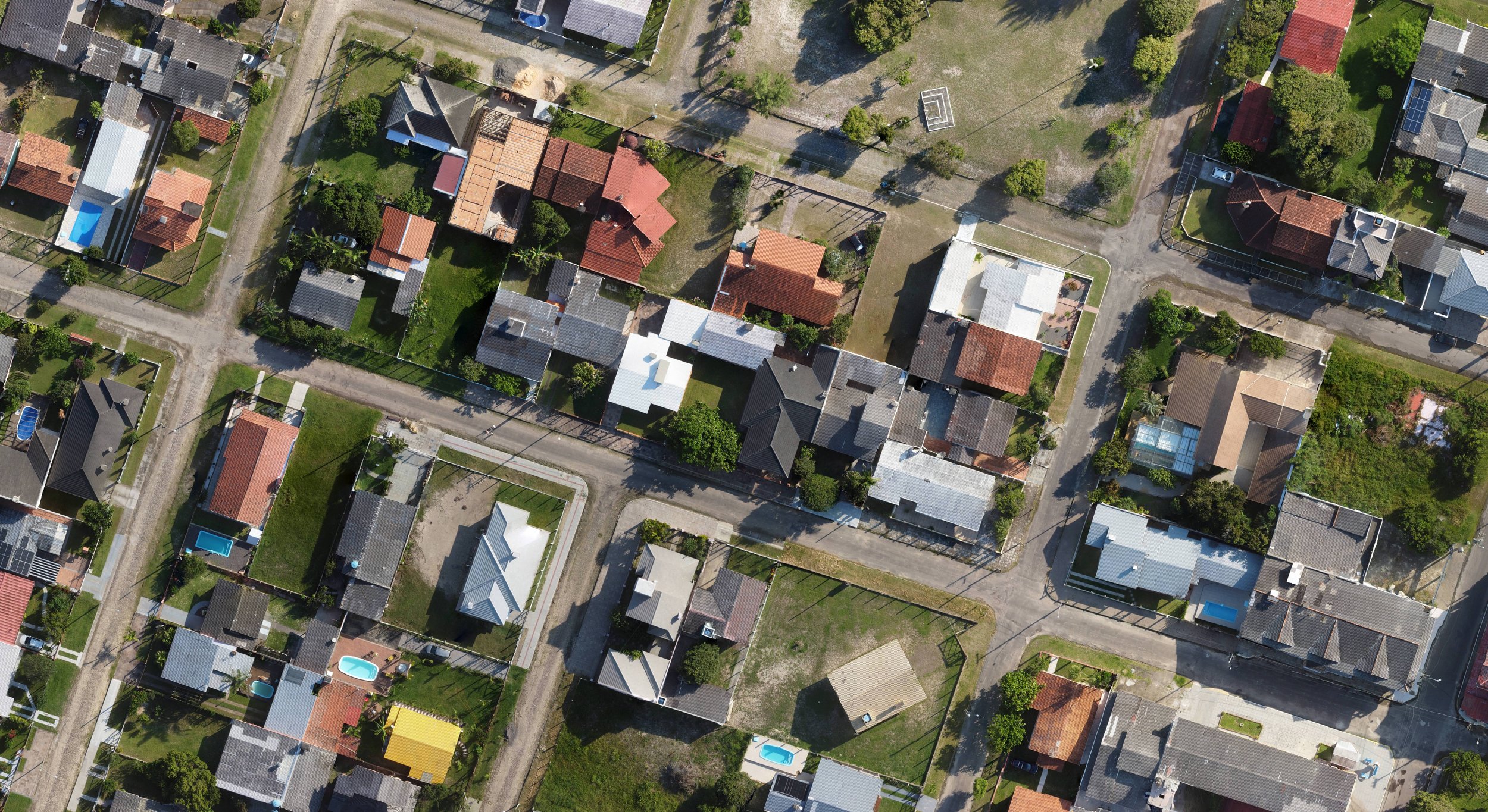
Photogrammetry helps us turn aerial imagery into precise 3D models, using advanced algorithms and software for comprehensive visual representation.
We also specialize in multispectral surveys, revealing insights about vegetation health, environmental conditions, and crop analysis, benefiting industries like agriculture, forestry, and environmental management.
Our dedication to excellence sets us apart. We use cutting-edge drone tech and expert data analysis to tailor solutions to your needs.
At UAV3D, we're here to help you unlock new possibilities in aerial surveying. Trust us for accuracy, efficiency, and reliability as we revolutionize geospatial solutions with drones. Welcome to the future of drone-assisted geospatial solutions.
Contact Us
Please fill out the form and one of our team will be in contact as soon as possibe to discuss how we can best service your needs
